


4 Books That Make Astonishing Use of Maps
This content contains affiliate links. When you buy through these links, we may earn an affiliate commission.
I have always been “team map,” if you will. But I have plenty of friends who don’t give maps in novels a second glance—some even go so far as to say they are a nuisance and hinder the reader’s potential for story visualization. I don’t blame those folks. In fact, it’s absolutely true in a way; maps are meant to convince you of certain beliefs and perspectives, to indoctrinate you into the author’s mental landscape, if you will.
It reminds me of Peter Turchi’s quote: “The first lie of a map—also the first lie of fiction—is that it is the truth.” Still, that’s part of the seductive quality of maps for me. And when authors take advantage of that beguiling trait, I’m hooked. Some authors have done a masterful job of that, incorporating unique maps into the folds of their stories in ways that confuse, challenge, captivate, surprise, or completely trick the reader. Think the Marauder’s Map, which reveals itself but also hides so much (and can hide itself entirely with the right words). Here are a handful of alluring novels that take readers beyond the perimeter of the typical map, featuring them as much more than mere reference material.
Imagine having the ability to draw up maps of places you’ve never seen, and bend those spaces to your creative will. To create entries into any place on earth, no matter how mythic…This magical art is the crux of the plot for this novel, which was pure enchantment for me. Set in the late 1400s during the last sultanate of Iberia, The Bird King tells the story of Fatima, a palace concubine, and Hassan, coveted mapmaker and Fatima’s closest friend, as they make their escape from a sultanate about to fall to Spanish monarchy. Hassan’s otherworldly cartographic skills literally create lands that would otherwise be off the map, and I couldn’t wish for a more tantalizing gift.
At first glance, the map that kicks off this graphic novel seems straightforward enough. A geopolitical map of Lebanon during the time of its civil war from 1975 to 1990. Appropriate and useful to envelope the reader into the author’s memory of one terrifying night as a young girl when she and her siblings were separated from her parents by a mere few blocks. But the following 40 or so pages are filled with varying kinds of maps, the most poignant being a side-by-side comparison of two views of the same area: one showing the street route between the girl’s home and her grandparents, the second showing how they actually travel between the two places by jumping walls, hiding from snipers, waiting, and running when safe. It’s an illuminating vision of the effects of war on a child resident’s perspective, particularly hard-hitting because the whole book is in black and white.
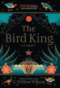 The Bird King
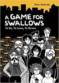 A Game for Swallows